Each weekday, the National Weather Service, River Forecast Center (RFC) in Portland, Oregon produces Ensemble Streamflow Prediction (ESP) “traces” to help forecast future streamflows throughout the Pacific Northwest. The ESP program uses the current hydrologic basin state (e.g. soil moisture, snowpack, etc.) as the initial conditions in a physically-based basin model. Historical precipitation and temperature sequences are applied to this model, and the model generates a group of possible future streamflow sequences (“traces”).
Each trace represents what would happen in the basin if a particular historical year’s weather were to repeat itself, given how wet the basin is right now. These traces are treated as equally likely outcomes. Taken together, ESP traces represent the range of streamflows that might be expected if this season’s weather is similar to previous years. (More information on ESP traces is available at the Northwest River Forecast Center).
The Seattle District Water Management uses ESP traces to inform operational decisions one to six months in advance in the Kootenai and Pend Oreille Basins. The ESP sets do not predict the exact reservoir elevation or flow that will occur at a given date in the future, but rather give a range of elevations or flows that may occur. Operational projections incorporate estimated biological and flood risk management operations that are required at Libby and Albeni Falls Dams.
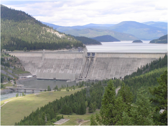
Libby Dam Traces
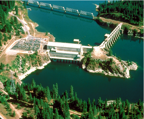
Albeni Falls Dam Traces